Land mapping, filmmaking, environmental monitoring, emergency rescue operations—drones are utilized in many applications, making them essential tech in the marketplace. Regardless of the type of drone you create, whether it’s for videography, agriculture, or military use, implementing the right measurement technology solutions and sensor components guarantees elevated drone performance.
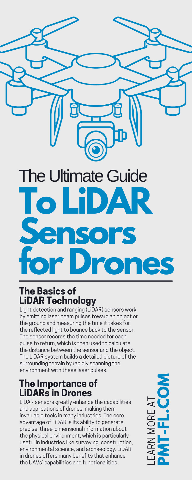
Drones consist of multiple crucial parts, from the propellers that provide lift to the onboard computer systems that control flight paths and stabilize the drone. These attributes work together to enable a drone to perform specific tasks, be it aerial photography, mapping, or precision farming. A key component of any drone design is LiDAR sensing technology. Discover how to create an advanced engineered unmanned aerial vehicle (UAV) with high-tech and precision qualities by reviewing this ultimate guide to LiDAR sensors for drones.
The Basics of LiDAR Technology
Light detection and ranging (LiDAR) sensors work by emitting laser beam pulses toward an object or the ground and measuring the time it takes for the reflected light to bounce back to the sensor. The sensor records the time needed for each pulse to return in picoseconds, which is then used to calculate the distance between the sensor and the object. The LiDAR system builds a detailed picture of the surrounding terrain by rapidly scanning the environment with these laser pulses.
With precise measurement technology, LiDAR sensors can emit and track the lasers within tiny intervals. At PMT, we offer LiDAR sensors for drones that incorporate advanced time-to-digital converters (TDCs), allowing for quality, picosecond data recording. The faster and more accurate the LiDAR sensing, the greater your product’s efficiency and performance. Real-time picosecond data leads to quicker responses, and accurate data leads to improved insight and decision-making.
The Importance of LiDARs in Drones
LiDAR sensors greatly enhance the capabilities and applications of drones, making them invaluable tools in many industries. The core advantage of LiDAR is its ability to generate precise, three-dimensional information about the physical environment, which is particularly useful in industries like surveying, construction, environmental science, and archaeology. LiDAR in drones offers many benefits that enhance the UAVs’ capabilities and functionalities.
Large Area Mapping
When mounted on drones, LiDAR sensors can cover vast areas. The data generated can be used to create detailed topographic maps, perform volumetric calculations, or monitor environmental changes. LiDAR-equipped drones can cover extensive areas quickly, capturing millions of data points in a single flight. The extensive coverage and data collection increases efficiency and provides highly accurate and detailed 3D models of terrains.
Safe Data Collection
Drones with LiDAR sensors can map out intricate details from above, reaching areas that would be difficult or dangerous for humans to access. Large area mapping with drones eliminates the need for physical human presence in potentially dangerous or hard-to-reach areas, thereby improving data collection safety.
Enhanced Navigation
LiDAR technology significantly enhances the navigational capabilities of drones across various applications. Unlike traditional systems, LiDAR equips drones with real-time, three-dimensional mapping of their surroundings, improving navigational safety around obstacles and through difficult terrain. LiDAR sensors detect and measure the distance to obstacles, enabling drones to autonomously adjust their paths and avoid collisions.
Integrating LiDAR sensors with drones presents significant technological advancements, expanding data collection and analysis possibilities and driving innovation across numerous sectors.
Types of LiDAR Sensors for Drones
Light waves come in many variations, from infrared to ultraviolet. LiDARs typically use either near-infrared or visible light, generating two primary types of LiDAR technology: topographic and bathymetric.
Topographic LiDAR
Topographic LiDAR is primarily used to map terrestrial environments and operates using near-infrared light that cannot penetrate water, making it ideal for mapping the land surface. Topographic LiDAR is invaluable in urban planning, forestry, land resource management, and environmental research applications.
Bathymetric LiDAR
Bathymetric LiDAR, on the other hand, operates using green light, which can penetrate water, making it particularly useful for mapping underwater features. This type of LiDAR is often used to measure the depth and contours of bodies of water such as rivers, lakes, and coastal waters. Bathymetric LiDAR sensors emit pulses of green light from the drones toward the water’s surface. The laser reflects off the surface and, depending on water clarity, penetrates the water, reaching the seafloor or riverbed.
Bathymetric LiDAR drones can measure the time it takes for the light to travel back from the water’s surface and the seafloor, calculating the water’s depth while generating a detailed map of the underwater terrain. Bathymetric LiDAR is especially valuable in coastal engineering, hydrology, and marine archaeology fields.
Choosing the Right LiDAR Sensor
Choosing the right LiDAR sensor for your drone depends on several factors, including:
- Payload capacity
- Budget
- Intended coverage rate
- Resolution standards
- Drone applications
- Data accuracy
The ideal LiDAR technology for drones features compact and lightweight TDC chips to maximize flying conditions and high-speed, accurate data collection to ensure real-time responses and recording.
Applications of LiDAR Drones
LiDAR drones are being used in various fields, including forestry, where they help in forest inventory and health assessment. These devices are also used in construction for site planning, and in archaeology to discover hidden structures. LiDAR drones are even used in disaster management for assessing damage and planning rescue missions. Drones with LiDAR technology offer an array of uses across numerous industries. Mapping and data converting technology paired with aerial accessibility and navigation provide a superior technological solution for many applications.
The Future of LiDAR in Drones
The future of LiDAR in drones involves greater technological advancements, faster recordkeeping and data conversions, and timeless functionality, as many industries will continue to require advanced data recording and the use of drones. As these technologies continue to evolve, we can expect to see them integrated into even more areas of our lives.
Understanding LiDAR technology and its application in drones is the first step toward fully harnessing its potential. With our ultimate guide to LiDAR sensors for drones and precise TDC measurement solutions, you can produce versatile, highly valuable, and advanced drones that your clients will love. Contact a PMT expert today, and we’ll work with you to design your own LiDAR technology solution for your drone. Elevate your products with precise measurement technology solutions!